


This is a real little gem of a tower house nestled, at least for the moment, in a bucolic setting in South County Meath. An ongoing housing development nearby will somewhat swallow it up at some future date leaving it as a centrepiece to some modern surrounds rather than the meadow it currently resides in.
The castle tower appears to be similar to the Ten Pound castles commissioned by the crown in the 15th century to aide on fortifying the borders of the pale.
It was mentioned as being in the possession of Sir George Wentworth in the 1640's. He also owned lands at Moyglare where we found another castle ruin (see earlier post here). In 1892 the remains of this tower were conserved by the owner of the Carton Estate which lies adjacent over the county border in Kildare, The owner, the fifth Duke of Leinster, also modernized the parapet where another floor once stood. Only for his intervention it would have collapsed into complete ruin. The tower now stands with three storeys and from the road is partially sheltered from sight by a large tree especially I would say when it is fully leaved. I was surprised at the tower's actual height upon getting up close to it.
As mentioned it lies in a meadow close to a secondary but busy enough road and it was too narrow to park at the field gate and access by the stile in the wall. Upon finding the field gate unlocked and no movement either human or bovine in the field we just opened the gate and drove down the grass to the tower. We did of course close the gate behind.
The tower stands on a slight rise within the field and adjacent to the Blackhall Little Stream which runs under a nicely built stone bridge nearby. This stream is a tributary of the Rye Water.
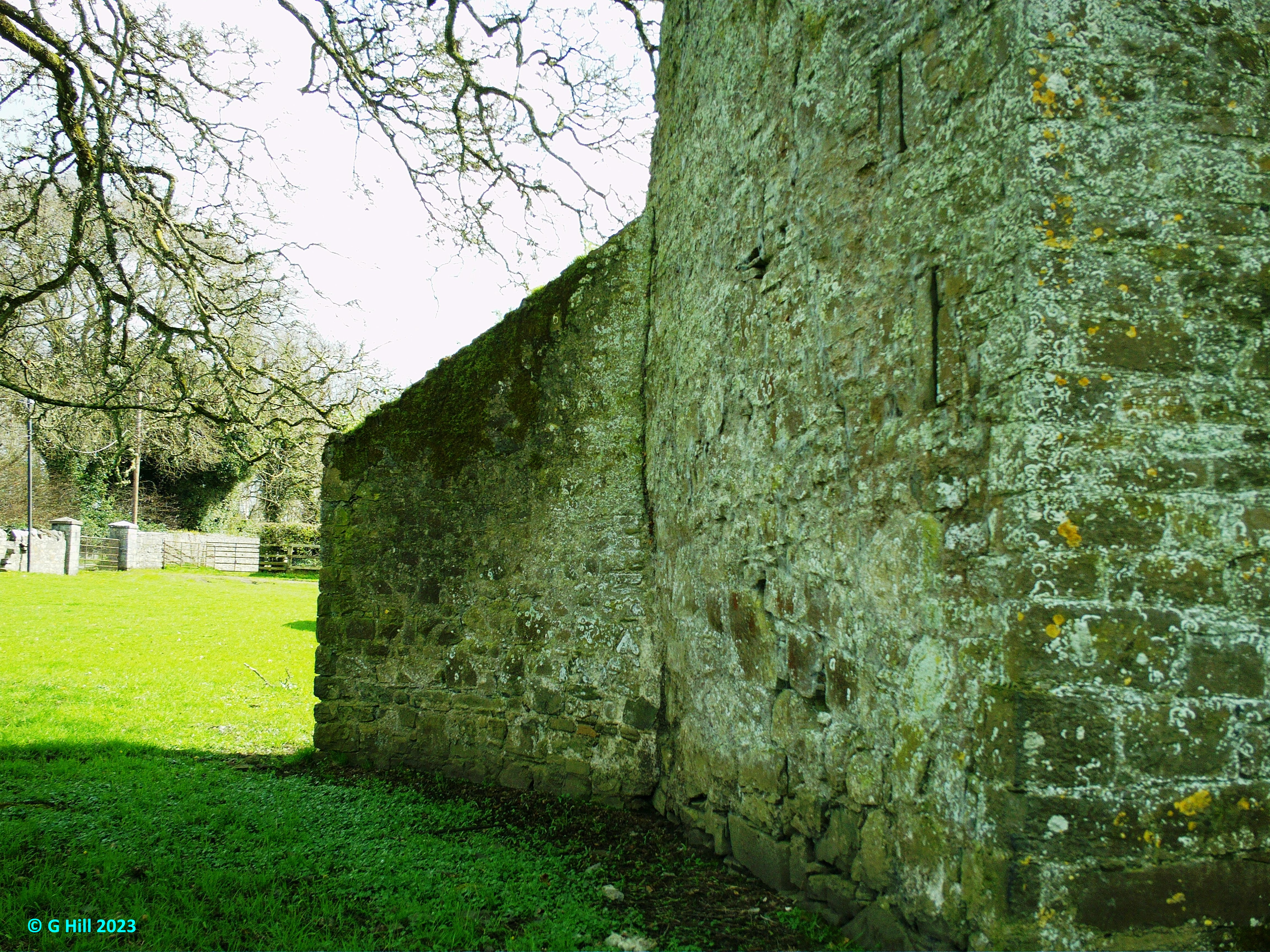
The original doorway of this tower was placed in the Northwest wall but was bricked up over time. The only doorway now is in the Southeast wall and on approach appears gated. So it was with some surprise that I found it unchained and easily opened. The ground floor within contains a small chamber with a couple of wall alcoves and a narrow spiral stair in the Northeast corner. A barrel vaulted ceiling is exposed above what would have been the first floor. There is a small garderobe area and then the second floor. All in all it is still in reasonable condition thanks to the conservation work. A partial wall extending from East wall appears to be buttressing of some kind rather than the remains of an attached building.
This was a nice find and I hope that the ongoing development in the area will leave the tower away from the housing so that it can be protected further down the line.
To find the ruins take the junction 7 exit from the M4 motorway and take the R406 towards Maynooth. Once you have reached the T-junction in the village with the R148 turn right following the sign for Carton House. Continue on this road out of the village and straight through the next roundabout driving approx 550m until you see a left hand turn onto the R157 to Dunboyne. Turn onto this road and drive approx 800m to the roundabout. Drive straight through and continue approx 400m until you reach a left turn onto the L22143. The ruins are in a field approx 400m down this road on your left. Parking here is not easy so either park if you can as we did or find a safe spot nearby and walk back.
GPS
53°23'40.3"N 6°34'50.0"W
53.394529, -6.580562