The first mention of a church here which is dedicated to St. Nicholas was in the ecclesiastical taxations of 1302 - 1306 where it was referred to as Greenock. This would probably date the church to at least the late 13th century. It has at times also been referred to as Grenoke. The church served as a catholic church until Cromwellian times when it was then either reformed into a Protestant church or was laid to ruin by the invading army. In any event it's condition is recorded in the 1837 Samuel Lewis publication "The Topographical Dictionary Of Ireland" as being "considerable remains".
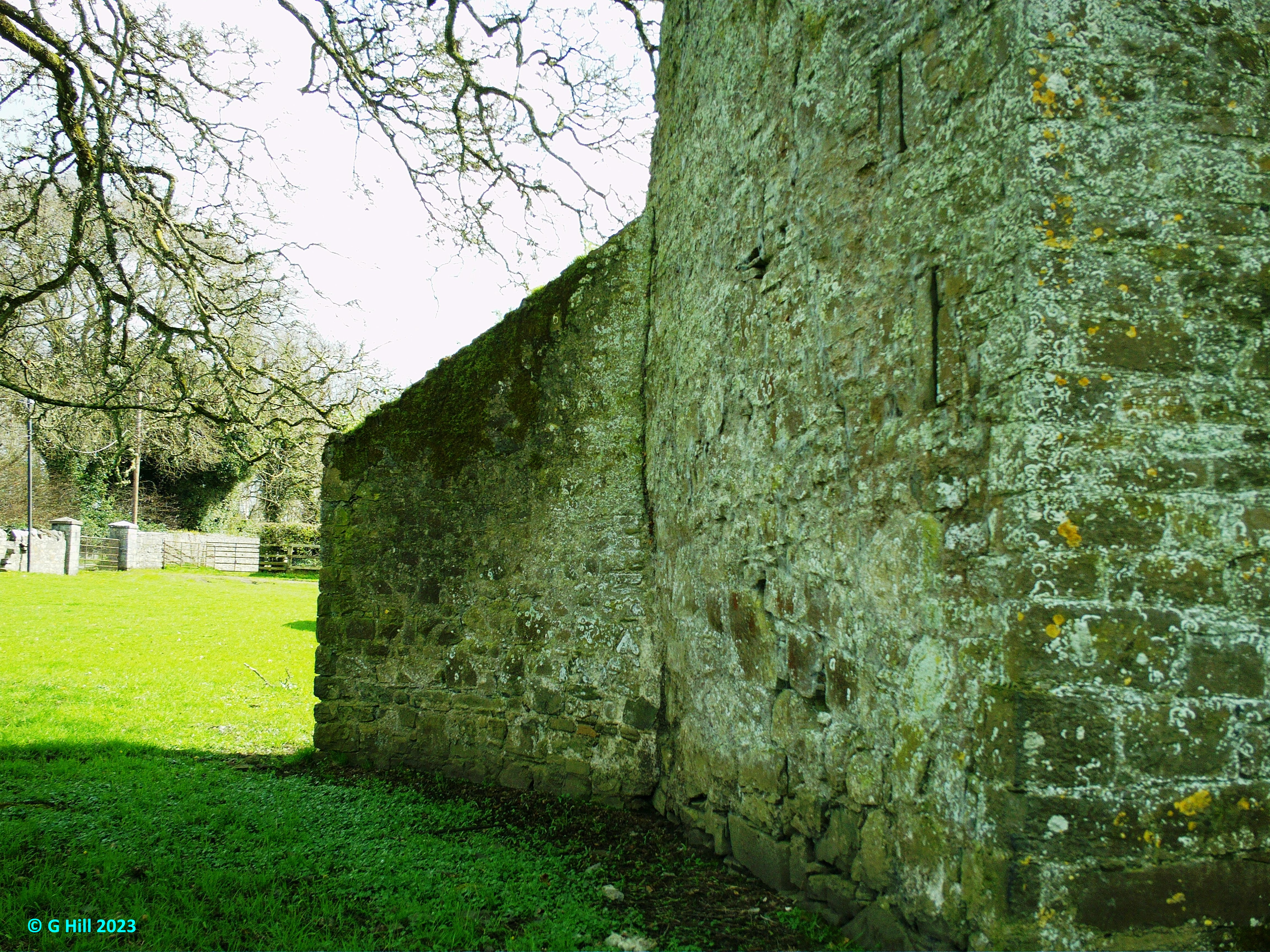
On our visit we parked at a roadside gate which had a V-shaped stone stile to the side. The laneway leading up to the church is slightly inclined and made up of gravel and is parallel to another lane leading to a private dwelling. At the top of the gravel path there is an entry gate on the right, with the ruins clearly visible. This is unlocked and it is within the enclosure that our interest lies. The ruins are sited on a grassy ridge of ground facing in an East-West direction and are surrounded by graves on both the North and South sides. All four walls still stand to varying degrees with a complete arched doorway in the North facing wall and partial doorway in the South wall. Between the nave and chancel areas is a large archway and what appears to be a seperate block which may have been a vestry or a possible stronghold for the clergy. It does not fit well into the layout of the inner church so it may have been a later addition. It can be entered through a rectangular orifice in the North wall which is approx two feet from the ground and appears more of a window than a doorway.
On an outer wall there is a plaque with the following inscription:
"In Memory of
Fr. Pat Ferrall P.P.
Greenogue, Donaghmore.
1789 / 1801
Active in the Rebellion of 1798
He was a stern and uncompromising Patriot R.I.P."
Singer Sean Dunphy who represented Ireland in the 1967 Eurovision Song Contest is among those buried in this graveyard.
To find the ruins take the M2 heading North and exit at junction 3. Follow the long slip road until you reach the Nine Mile Roundabout. Take the third exit signposted for the R125 to Swords. Continue on this road for approx 2.4KM and you will spot the ruins on elevated ground on your right. You can park offroad in front of the stile without inhibiting access to the private dwelling gates adjacent.
Coordinates: 53.4885 | -6.34932